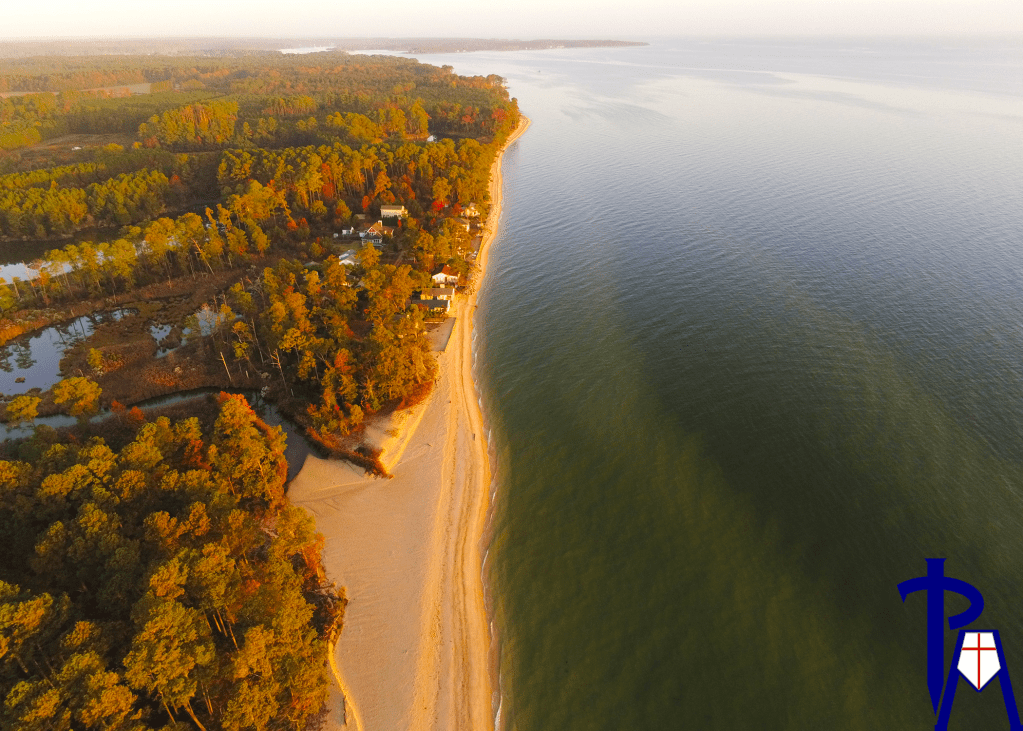


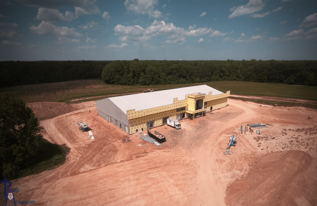


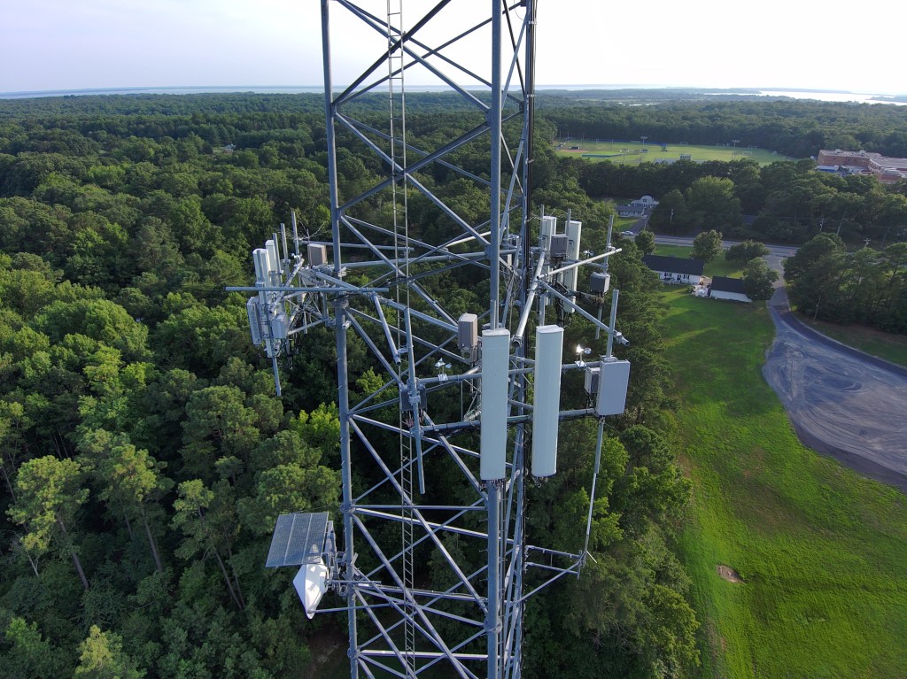


We specialize in geospatial data acquisition and thermal imagery for GIS, construction, land management, surveying, and agricultural scouting.
Price List
- Aerial Photographs…………….Starting at $150
- Aerial Video…………………………Starting at $200
- Roof/Chimney Inspection…Starting at $150
- Panoramic Photographs……Starting at $200
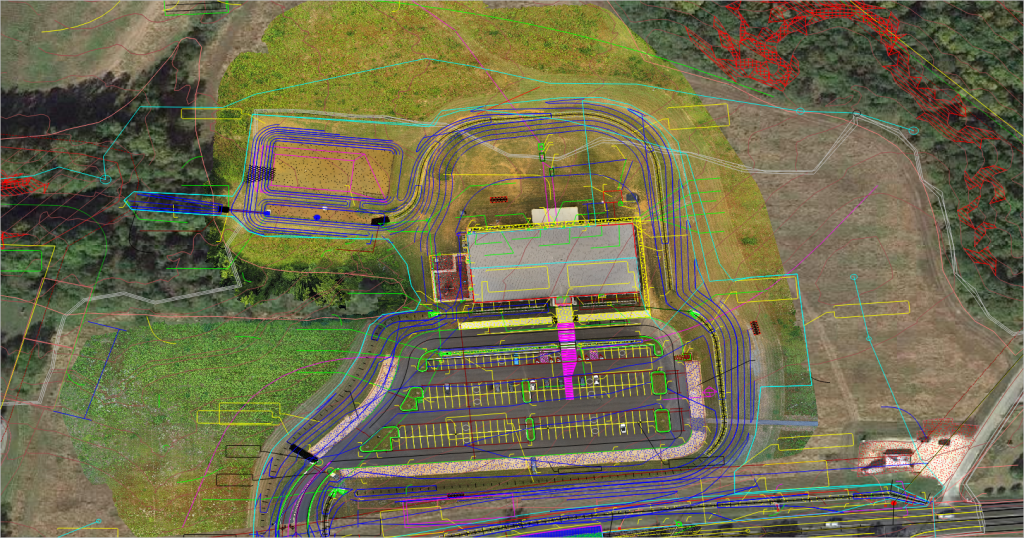
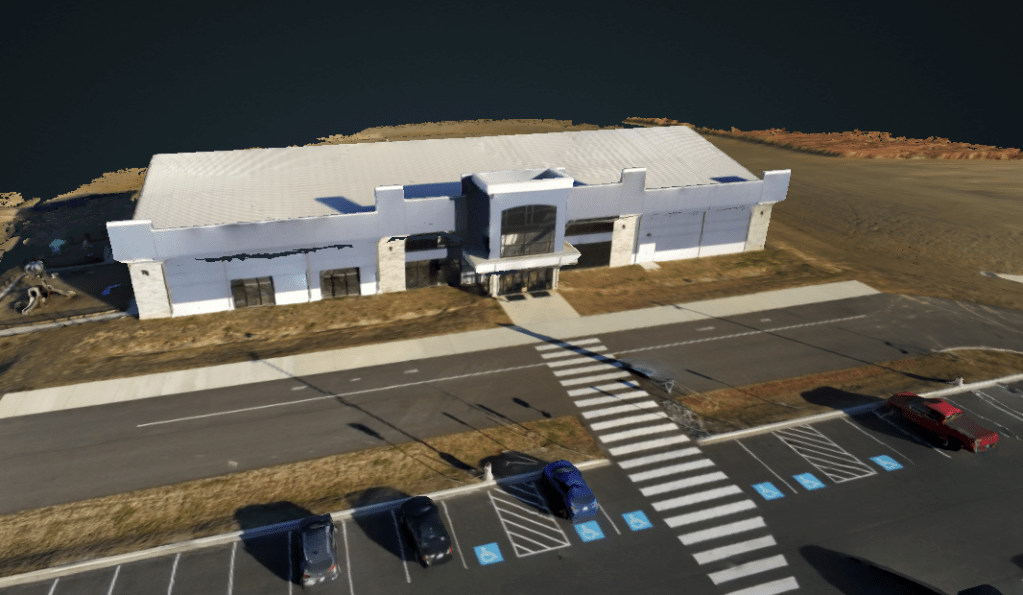
- 2D Mapping………………………..Starting at $200
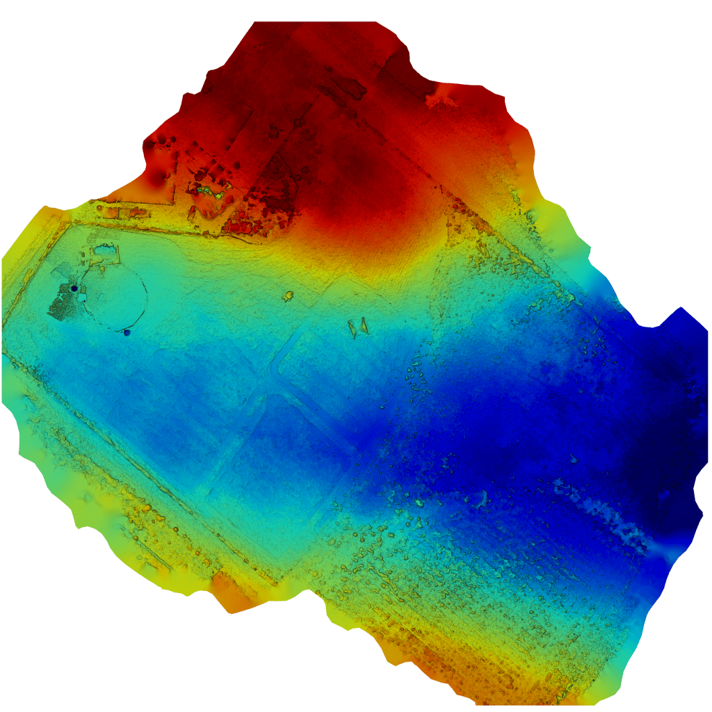
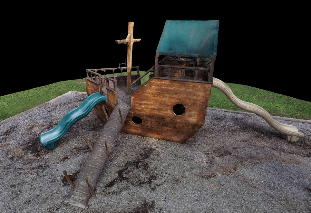
- 3D Model…………………………….Starting at $250
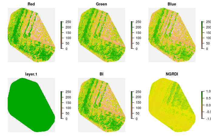
- Plant Health Analysis…………Starting at $225
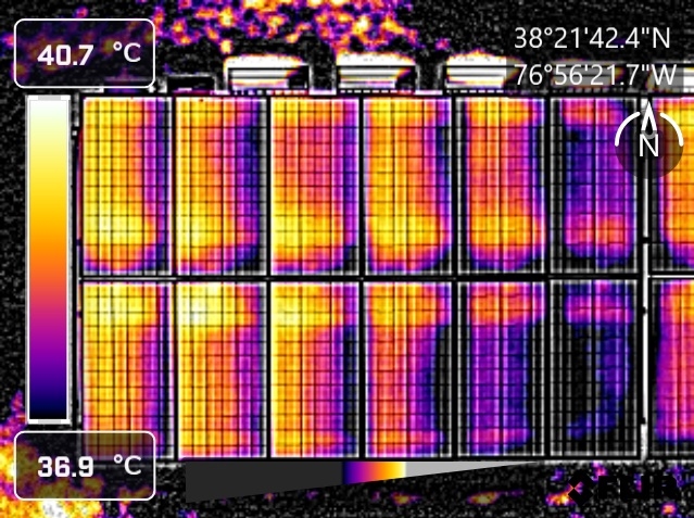
- Thermal Imaging………………..Starting at $225
10% Discount on repeat jobs at a single site.
Additional costs for photo and video editing services. Graphic design services also available through our partner, Stephanie Z Photography and Designs.
Flexible payments to fit your needs!
- Credit Card
- Corporate Purchase Card
- Government Purchase Card
- PayPal
- Venmo
- Bank Transfer
- ACH (Direct Deposit)
| Years of UAV Experience | |
| UAV Pilot Hours |

Paladin Automation LLC is a certificated FAA Part 107 Drone Service Provider. We are members of Vets To Drones and AUVSI Trusted Operator Program (TOP). These organizations are dedicated to ensuring the continued safety and well-being of our communities. We are a DroneDeploy Certified Pilot program in recognition of our commitment to continuous learning and contribution to the drone community. We are certified as a Category I Thermographer in accordance with ISO 18436. We have earned the highest UAS Pilot qualifications during our time of military service.
We carry liability insurance on every flight to protect our customers from unforeseen events. We work with the FAA and U.S. Navy for authorized access to military airspace. Our equipment is approved by the DoD for information security.
FAA CERTIFIED
REMOTE ID COMPLIANT


